International Symposium on Precision Geodesy Held in Wuhan
 时间:2026-09-18
 浏览:7
浏览:7
The International Symposium on Precision Geodesy was held in Wuhan on September 12–13, 2026. Organized by the State Key Laboratory of Precision Geodesy. It was supported by academic organizations in China and abroad, including the IGS Bias and Ambiguity Resolution (BAR) Committee, the IGS Wuhan Combination Center (WCC), the IAG Multi-frequency Multi-GNSS Sub-commission 4.2, the Seed Commission of the International Society for Mine Surveying (ISM), and the International Cooperation Working Committee of the Chinese Society for Geodesy, Photogrammetry and Cartography. The event brought together more than 30 experts and scholars from universities, research institutes, and international academic organizations in China and abroad for in-depth discussions on frontier topics in precision geodesy, positioning and navigation, geoscience applications, and multidisciplinary integration.
Professor Heping Sun, Academician of the Chinese Academy of Sciences and Vice Chair of the Chinese National Committee for International Union of Geodesy and Geophysics (IUGG), delivered remarks on behalf of the Committee. Professor Chris Rizos, President of IUGG, and Professor Jingnan Liu, Academician of the Chinese Academy of Engineering, also delivered remarks, while Professor Sidao Ni, Academician of the Chinese Academy of Sciences, spoke on behalf of the Innovation Academy for Precision Measurement Science and Technology, Chinese Academy of Sciences. They congratulated the organizers on the successful convening of the symposium, welcomed experts and scholars from China and abroad, and expressed the hope that the symposium would further strengthen academic exchange and cooperation, promote research on frontier scientific questions and key technological innovation in precision geodesy, and advance the international development of geodesy in China.

Following the opening ceremony, Professor Chris Rizos, Academician Heping Sun, Professor Guifei Jing of Beihang University, and Professor Wenzhong John Shi of The Hong Kong Polytechnic University delivered keynote presentations. The session was moderated by Professor Jianghui Geng, Director of the State Key Laboratory of Precision Geodesy. The presentations covered the development of geodesy, geopotential determination and height datums, positioning and navigation, and AI-enabled surveying and mapping, highlighting recent advances and future directions.
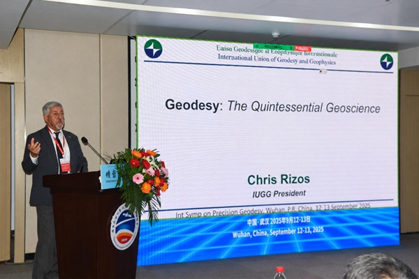
Professor Chris Rizos delivered a presentation entitled “Geodesy: The Quintessential Geoscience.” From an Earth system science perspective, he reviewed the evolution of geodesy and highlighted its role in understanding and monitoring the Earth system and supporting modern geoscience.
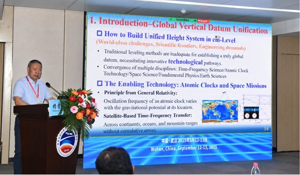
Academician Heping Sun delivered a presentation entitled “A Future Plan for Geopotential Determination and Height Datum Unification.” He presented advances in high-precision optical clocks and high-stability time-frequency transfer and discussed their potential for geopotential determination and the establishment of a unified height datum.

Professor Guifei Jing delivered a presentation entitled “Understanding of Demand for Navigation & Positioning and Breakthroughs in Technological Shortcomings.” He examined future demand for positioning and navigation services, outlined trends toward intelligent and highly reliable technologies, and discussed key technical challenges requiring further breakthroughs.
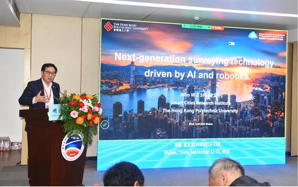
Professor Wenzhong John Shi delivered a presentation entitled “Next-generation Surveying Technology Driven by AI and Robotics.” He discussed emerging trends and applications arising from the integration of artificial intelligence, robotics, and next-generation surveying and mapping technologies.
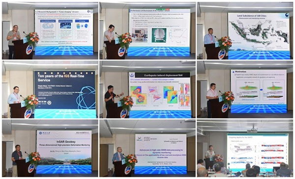
On the afternoon of September 12, the symposium continued with plenary sessions moderated by Professor Jacek Paziewski of the University of Warmia and Mazury in Olsztyn and Professor Zishen Li of the Aerospace Information Research Institute, Chinese Academy of Sciences. Presentations by Kefei Zhang, Zebing Zhou, Moh. Fifik Syafiudin, Zishen Li, Chen Yu, Jianghui Geng, Jun Hu, Jacek Paziewski, and Xiaohua Xu covered GNSS positioning, satellite navigation, integrated positioning, and geodynamic monitoring.

On the morning of September 13, the plenary sessions continued with presentations on GNSS atmospheric sensing, surface deformation monitoring, gravity field modeling, and terrestrial water storage changes. Moderated by Professor Qiujie Chen and Professor Kejie Chen, the sessions featured presentations by Meng Su, Kejie Chen, Qiujie Chen, Tao Jiang, Vagner Goncalves Ferreira, Shuang Yi, Lei Liu, Rafał Sieradzki, and Dawid Łukasz Kwaśniak.

Throughout the symposium, participants exchanged views on frontier scientific questions and key technologies in precision geodesy and positioning. Discussions spanning satellite navigation, geodesy, gravimetry, remote sensing, and geodynamics further strengthened academic exchange and interdisciplinary collaboration.

The organizers presented commemorative medals to representatives of the keynote and plenary speakers in appreciation of their contributions to the symposium and their support for the laboratory.

The State Key Laboratory of Precision Geodesy conducts research in three major areas: time-varying dynamics of geophysical fields, key technologies for precision geodesy, and BeiDou reference and passive positioning. With support from the International (Regional) Cooperation Program of the National Natural Science Foundation of China (NSFC), the laboratory organized the symposium to promote exchanges on frontier scientific questions and key technologies. The event strengthened interdisciplinary collaboration and international academic ties, expanded cooperation networks, and contributed to the continued development of precision geodesy.